Tham Ma Slope
Dốc Thẩm Mã
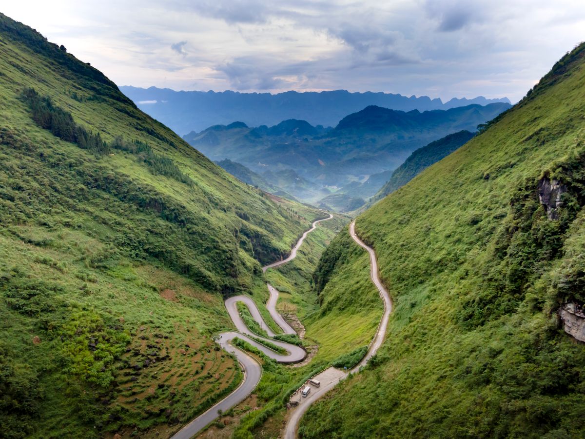
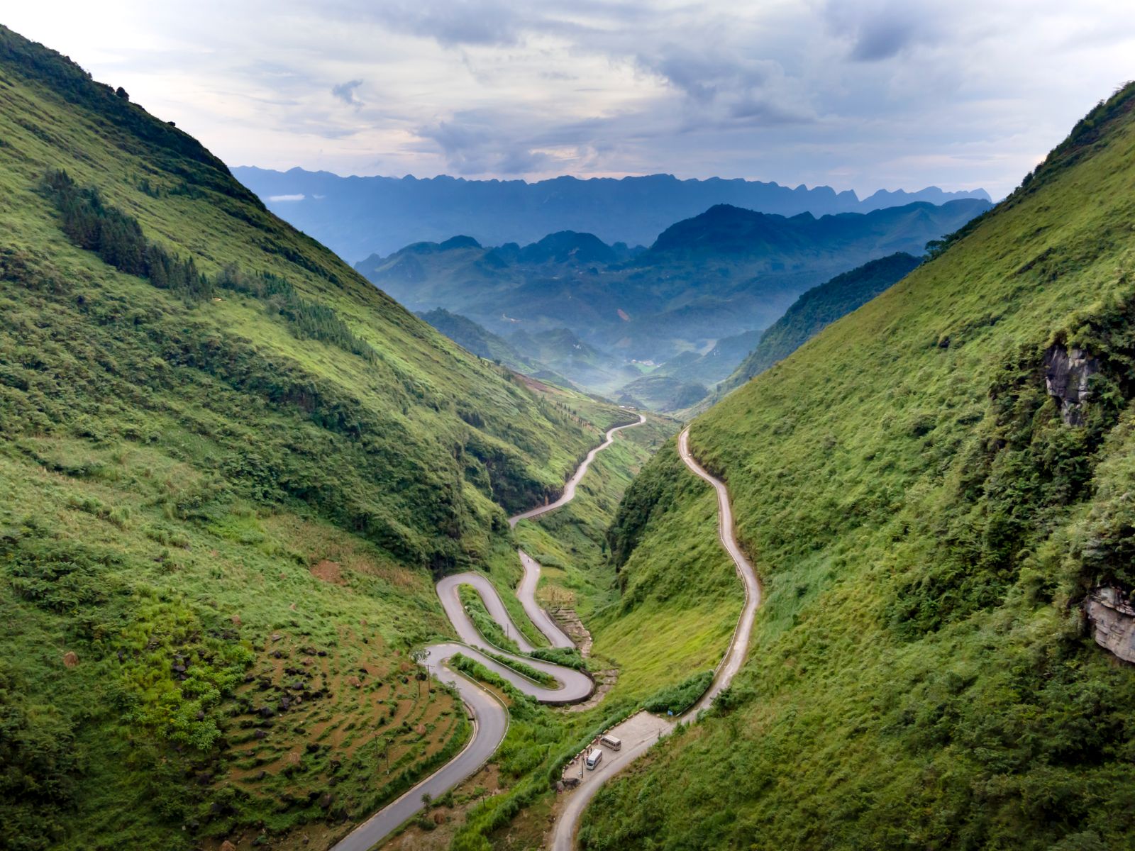
A dramatic winding mountain slope on Highway 4C connecting Yen Minh to Pho Cao, resembling a silk ribbon draped across the mountainside — one of the Ha Giang Loop's most photogenic stretches.
Photos


What to know before you go
- Tham Ma Pass sits on the Ha Giang Loop route between Yen Minh town and Pho Cao village, at an elevation that offers sweeping views of the surrounding limestone karst landscape.
- The road is paved but narrow and steep with sharp turns — considered one of the more demanding sections of the loop for inexperienced riders. Despite this, it is consistently rated one of the most scenic stretches of Highway 4C.
- The pass is best photographed from pull-off viewpoints along the road, where the full serpentine shape of the slope is visible against the mountain backdrop. Early morning light and clear days offer the best conditions.
Culture, safety & access
Culture & etiquette
Pull over safely at viewpoints; do not stop in the middle of the road for photos
Safety & health
Steep and narrow with sharp bends — reduce speed, honk at blind corners, avoid riding in fog or rain. Not recommended for inexperienced riders
Weather
Slippery after rain; fog common in early morning and rainy season — wait for visibility to improve before descending
Road Difficulty
Steep and winding — semi-automatic or automatic motorbikes recommended for beginners; manual bikes for experienced riders only
Viewpoints
Several natural pull-off spots along the slope for photos; exercise caution when stopping
Emergency
Mobile signal can be weak in some sections; inform your guesthouse of your planned route